
Data-Driven Harvesting: How the John Deere Operations Center Is Changing the Way We Make Decisions
2026. July 17.For millennia, agriculture has been based on experience, observations passed down from generation to generation, and intuition. In the modern world, however, farmers now face challenges for which intuition no longer provides adequate answers. Unpredictable weather, rising costs of seeds, fertilizers, and pesticides, and increasingly strict regulations all reduce the margin for error. This is where precision farming and data-driven decision-making play a crucial role.











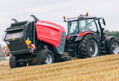


One of the most important platforms in this regard is the John Deere Operations Center, which is changing the way farmers view their land and equipment.
All data in one place
The Operations Center essentially serves as the farm’s digital hub. Modern equipment—tractors, combine harvesters, and sprayers—is no longer just mechanical tools but mobile data collection stations. While in operation, they continuously measure soil properties, seeding density, the amount of nutrients applied, as well as real-time fuel consumption and crop yield.
The main advantage of the platform is that it consolidates the aforementioned information into a single interface. In this cloud-based system, the machines transmit data in real time via the JDLink telematics system. This means that the driver can view the current status of the harvest, grain moisture content, and yield map on the screen without having to go out into the field.
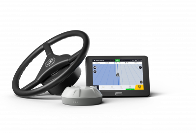
Not to mention that the system is so flexible that it can handle data from more than just the latest machines. With John Deere automation systems and displays, data from mixed fleets can also be integrated, allowing the entire farm to be viewed on a single shared screen.
Precise Spring Planning
Harvesting never marks the end of the process, but rather the beginning of the next season. As the combine moves across the field, it records, meter by meter, where and how much crop is being collected in the hopper. This data is used to create a yield map, which is also displayed visually in the Operations Center: the dark green areas indicate high-yielding zones, while the red areas represent lower-yielding zones.
So, instead of treating the entire field as a single, uniform unit, we can use the system to uncover the causes of this variability. Why was the yield lower in one part of the field? Could it be that the soil structure was different, or that there was too much water?
By comparing this data with current yield maps, we can create a precision application map. In the next growing season, the seeder will automatically plant more seeds in areas with favorable conditions and fewer in areas where the soil structure has changed. The same applies to fertilizer application: nutrients must be applied where they can actually be utilized, thereby reducing waste and environmental impact.
The Operations Center as a Fleet Manager
With this tool, decision-making is transformed not only at the agronomic level, but also at the operational and logistical levels. The system allows farm managers to see exactly which machine is where, at what speed it is operating, and how much fuel is in its tank.
This level of transparency is very important, especially during the harvest season, when every minute counts before the rain and cold set in. If the system indicates that one of the combine harvesters’ tanks is about to fill up, transport vehicles can be routed much more efficiently, thereby minimizing idle time and waiting time.

Operational data can be used to identify operator errors or inefficient passes, which can lead to unnecessary diesel consumption. Precise monitoring can thus directly reduce harvesting costs.
Secure Data Sharing
Collecting data is only half the battle. The real value lies in analyzing the data and developing appropriate strategies. However, many farmers don’t have the time or expertise to spend hours poring over graphs on a monitor. The Operations Center, with its cloud-based data-sharing feature, offers a solution to this as well.
Farmers can share their field data with external partners—such as consultants, distributors, or even service technicians from machinery dealers—with complete security and within a controlled framework. If the system grants permission, an expert can remotely view the yield map and immediately draw up the necessary plans, or the service department can provide advance notice if a part is expected to fail.